NPU Drone-Map Dataset
This dataset contains several aerial video sequences captured in different terrains and heights, which is used to evaluate the effectiveness of our proposed open-source Map2DFusion system. Until now, the dataset is consisted of several sequences recorded in different locations with over 100GB data and more captured sequences will be added. Welcome to supply us more original flight data and share them on this website!

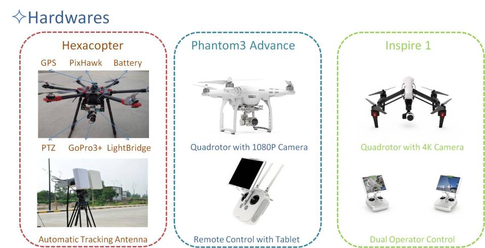
1. Hardware Introduction
The used devices include a self-made hexacopter, DJI Phantom 3 (advanced version), and DJI Inspire. The hexacopter is equipped with a GoPro Hero3+ camera and a DJI Light-bridge is used for real-time video transmission.
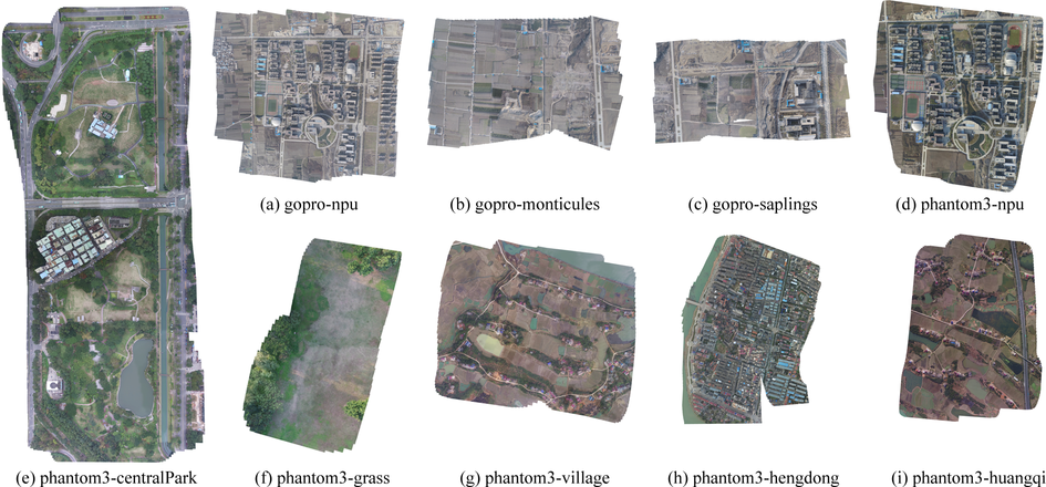
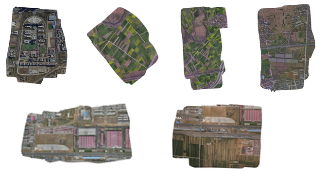
2. Sequences (Updated on April 18, 2016)
The thumbnails for some sequences are demonstrated in the picture below and some basic statistics are listed in the table. All data can be downloaded from the Baidu cloud.
3. Format Instruction
For each sequence, the data are supplied with three formats: the original, unified and keyframes. The detailed introductions are listed below.
3.1. Original format
The data in this format are compressed into zip files with name ‘sequenceName-original.zip”. All raw data are collected including video, flight log, ground control points (GCPs) locations, etc. Since different drones are used to capture sequences, the formats for hexacopter and Phantom3 sequences are different.
3.1.1. Hexacopter sequences
   flight.cfg ---- configuration file with calibration information for Svar
   flight.wp ---- waypoints for autonomous flight
   flight.mvd ---- flight log in mavlink format
   flight*.MP4 ---- video file captured by GoPro Hero3+.
   flight_info ---- video information
3.1.2. Phantom3 sequences
   flight.cfg ---- configuration file with calibration information for Svar
   flight.MOV ---- video file captured by phantom3
   flight.SRT ---- subtitle file
   log.DAT ---- log file from phantom3
   log.txt ---- log file from DJI application
3.2. Unified format
All sequences share the same format where videos are undistorted into images and gps log is converted to a readable text file.
rgb—- a folder contains colorful imagesconfig.cfg—- configuration file for Svarframes.txt—- each row consists of (timestamp imagePath)gps.txt—- gps log in format (timestamp longitude latitude altitude gpsNumber)
3.3. Sequence keyframes for Map2DFusion
This format is acqually used for reconstruction by Pix4DMapper, Photoscan and our open-source Map2DFusion.
rgb—- a folder contains undistorted keyframe imagesconfig.cfg—- configuration file for Svartrajectory.txt—- keyframes trajectory including both rotation and translation
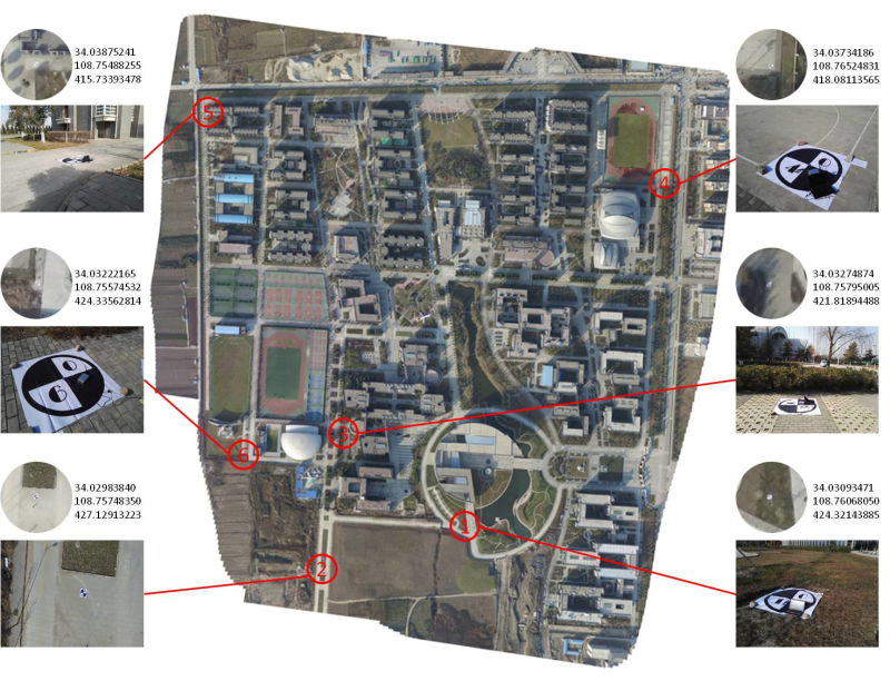
3.4. Ground control points
The GCPs information is available in file sequenceName-GCPs.zip for some of the sequences, including a txt file lists marker ids with their GPS location and a picture marked all GCPs in the reconstructed map as shown in below.
3.5. zip archival file and md5 verification
For large sequences, files are compressed and splited into several zip parts less then 4GB. For each file, the md5 code are computed for data verification.
4. Camera paraments
If you wanna use the original video data, the camera model should be needed. We calibrate the cameras with three different models and the paraments in EICAM format can be downloaded here.
5. Contact
If you have any question or want to provide your own flight data, please contact: Shuhui Bu ( bushuhui@nwpu.edu.cn), Yong Zhao Email: zd5945@126.com